Leave a Message

Thank you for your message. We will be in touch with you shortly.

Minimum Lot Size & Setbacks: Rules That Shape the Heights

October 16, 2025

Minimum Lot Size & Setbacks: Rules That Shape the Heights

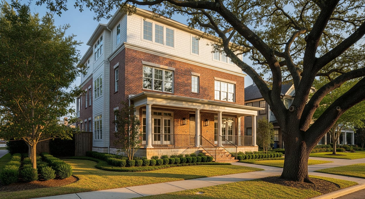
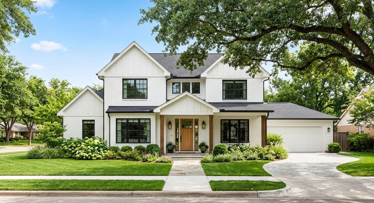
Thinking about adding on, rebuilding, or subdividing in The Heights and not sure what is allowed? You are not alone. Houston has no traditional zoning, so rules like minimum lot size, setbacks, deed restrictions, historic-district guidelines, and floodplain permits do the heavy lifting. This guide breaks down how those layers shape what you can build and how to verify them for any Heights address. Let’s dive in.

Heights rules at a glance

Houston does not have zoning. Development is guided by city ordinances and platting standards, including Chapter 42 of the code, plus private deed restrictions and HOA rules where they exist. In the Heights, you will often see four layers at work:

  • City special Minimum Lot Size and Minimum Building Line designations.
  • Private deed restrictions recorded on specific blocks or lots.
  • Historic district guidelines and Certificates of Appropriateness in Heights East, West, and South.
  • Floodplain permits and elevation requirements where applicable. For an overview, see the City’s Planning & Development guidance on development regulations and Chapter 42 building line standards.

Minimum Lot Size basics

A special Minimum Lot Size, or MLS, prevents subdividing below a set lot area within a designated block or area. The City sets that “special minimum” by analyzing existing lot sizes and adopts it by ordinance for 40 years. Existing smaller lots are not penalized, and homes on them can remain or be replaced if new work meets all other rules. Learn more on the City’s MLS program page and Chapter 42 procedures.

How MLS shows up in The Heights

Residents have used MLS to curb townhouse-style splits on older lots. In 2020, City Council approved a nearly 12-block MLS area in the Heights, limiting narrow-lot subdivision there for 40 years. This kind of designation helps preserve the prevailing lot pattern and spacing on affected blocks.

Minimum Building Line basics

A Minimum Building Line, or MBL, sets a required front setback for new construction on a blockface or area. The City bases it on prevailing setbacks, and once adopted, new structures must respect that line. If an existing house sits closer than the new MBL, it is typically grandfathered, but additions or new builds must comply going forward. See the City’s MBL program page for how it works and Chapter 42 for the building line summary.

Typical front setbacks in the Heights

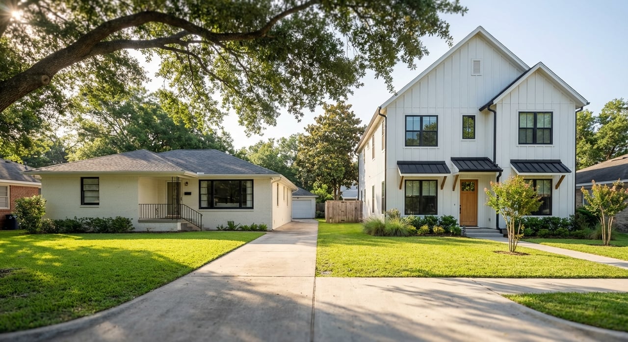
Historic-district design guidance points to common front setbacks in the 15 to 25 foot range on many Heights blocks and encourages matching the prevailing pattern. If your block has a special MBL or your plat shows a front building line, that line controls new work.

Deed restrictions matter

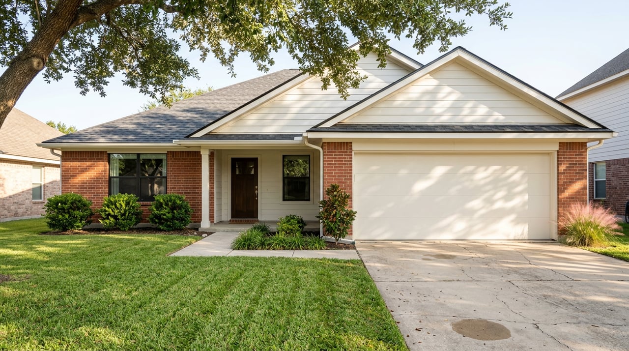
Many Heights blocks have recorded deed restrictions that set front, side, and rear setbacks, minimum frontages, density limits, and even height caps. A common pattern is a 15 foot front setback, 3 foot side setbacks, a 10 foot side setback facing a street on corner lots, and a 40 foot height cap for lots 50 feet wide or less. Terms vary by block, and deed restrictions are enforced privately by owners or associations. The Houston Heights Association maintains deed-restriction documents you can review.

Historic districts and COAs

If your property is inside Heights East, West, or South, exterior changes and new construction require a Certificate of Appropriateness. The City’s Heights design guidelines emphasize matching prevailing setbacks, scale that aligns with one or two stories, and rear or detached garages where typical. These rules supplement Chapter 42 and can be more restrictive. See the Heights historic setting and guidelines for details.

Floodplain and elevation rules

Parts of the Heights intersect with local bayou floodplains or localized drainage issues. If your lot is in a mapped flood zone, the Floodplain Management Office requires permits, elevation certificates, and minimum finished-floor elevations or floodproofing. Map updates are ongoing in Harris County, which could change risk classifications for some parcels. Start with the county’s Flood Education Mapping Tool and the City’s floodplain permitting page.

How the layers interact

These rules stack. When there is a conflict, stricter standards generally win. Chapter 42 states that more restrictive deed restrictions control over city minimums for building lines. A historic district COA can require deeper setbacks or a different massing than the base code. Floodplain permits and building codes apply regardless and can change foundation design and cost, even if they do not change a recorded setback.

What this means for you

  • Buildable envelope: Front, side, and rear setbacks plus any platted building lines reduce how much of your lot you can build on. Floodplain elevation may further shape design and cost.
  • Subdividing: In an MLS area, you cannot subdivide below the special minimum lot size. Even outside an MLS, deed restrictions can limit density or require minimum frontages.
  • Replacing or rebuilding: Smaller lots and nonconforming homes are generally grandfathered, but new construction must meet current MBL, MLS, deed restrictions, historic district rules if applicable, and floodplain permits.
  • Height and massing: Deed restrictions often limit maximum height, frequently to 40 feet on narrower lots in the Heights. Historic guidelines favor compatible scale and placement.
  • Timeline and cost: MLS or MBL themselves do not add fees, but historic COA review and floodplain permitting add steps, documentation, and design work.

How to verify a specific Heights address

Follow this quick workflow before you write an offer or plan a project:

  1. Check special MLS or MBL status. Use the City’s Minimum Lot Size and Minimum Building Line page and GIS listings to confirm any adopted or pending designations.
  2. Confirm historic district boundaries. Review the City’s Heights historic-district pages to see if COA review applies to the property.
  3. Pull deed restrictions. Search Harris County Clerk records and the Houston Heights Association deed-restriction page to see what covenants apply.
  4. Review flood risk. Use the Harris County Flood Education Mapping Tool and contact the Floodplain Management Office for finished-floor and permit guidance.
  5. Order survey and plat. An up-to-date survey and the recorded plat will show building lines, lot dimensions, and easements that define your buildable area. Chapter 42 explains how building lines work.
  6. Talk to the City early. For construction or subdivision plans, consult City Planning staff on Chapter 42, Historic Preservation staff for COAs, and the Permitting Center for floodplain and building permits. Variances under Chapter 42 are possible but narrow and property specific.

Plan smarter with local guidance

Buying or selling in the Heights is easier when you understand the lot, the setbacks, and the approvals your project will need. If you want a second set of eyes on a survey, plat, or deed restrictions, our team can help you make a clear plan before you commit. Connect with Liv Texas for neighborhood-smart advice grounded in construction, lending, and investment know-how.

FAQs

What is Houston’s Minimum Lot Size rule in the Heights?

  • It is a special designation that prevents subdividing below a set lot area on designated blocks for 40 years, based on existing lot patterns. Existing smaller lots are grandfathered. See the City’s MLS program page.

How does a Minimum Building Line affect my remodel in the Heights?

  • An adopted MBL sets the minimum front setback for new work. Existing homes closer than the MBL are typically grandfathered, but additions and new builds must meet the MBL. See Chapter 42’s building line summary.

Do deed restrictions override City setback minimums in the Heights?

  • Yes, when deed restrictions are more restrictive, they control. Chapter 42 recognizes that private covenants can impose deeper setbacks or other limits than the City minimums.

If my Heights property is in a historic district, what changes need approval?

  • Exterior changes and new construction usually require a Certificate of Appropriateness. The Heights guidelines emphasize matching prevailing setbacks, compatible scale, and appropriate placement. See the City’s Heights historic guidance.

How do floodplain rules change what I can build in the Heights?

  • Floodplain permits, elevation certificates, and minimum finished-floor elevations can affect foundation type, site grading, and cost. Start with the county map tool and the City’s Floodplain Management Office for parcel-specific requirements.

Can I get a variance from an MLS or MBL in the Heights?

  • Variances are possible in limited cases under Chapter 42 and are property specific. The Planning Commission reviews requests under standards set in the code.

How do I check if my Heights lot is in an MLS or MBL area?

  • Use the City’s Minimum Lot Size and Minimum Building Line page and its GIS or listings to confirm adopted or pending designations, or contact the Planning & Development Department for assistance.

Let's Talk

You’ve got questions and we can’t wait to answer them.

Follow Us on Instagram